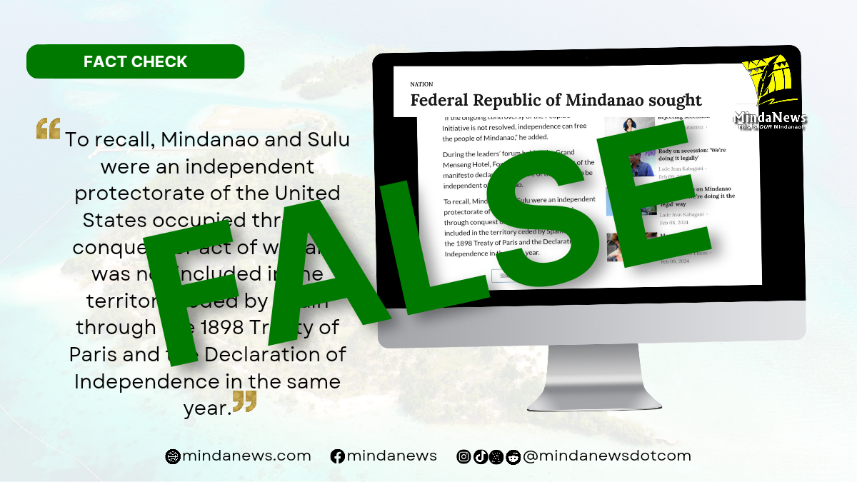
MindaNews fact-checked a news item that says Mindanao and Sulu were not included in the territories ceded by Spain to the United States under the 1898 Treaty of Paris and in the Philippine Declaration of Independence on June 12, 1898, when Filipino revolutionaries proclaimed the country’s liberation from colonial Spain.
The claim is false based on Article III of the treaty that defines the limits of what it refers to as the Philippine Islands, and on the text of the Declaration of Independence.
On 1 February 2024, tribune.net.ph published a news item titled “Federal Republic of Mindanao sought,” which quoted one Emmanuel Fontanilla, described as the convenor of Mindanao Independence Movement, as saying the group will pursue an independent Mindanao using the Kosovo model with former President Rodrigo Duterte as interim head of state.
The story came on the heels of Duterte’s announcement during a press conference in Davao City on Jan. 30 that he wanted an independent Mindanao and that they would do it all the way to the United Nations.
The last paragraph of the Daily Tribune article reads: “To recall, Mindanao and Sulu were an independent protectorate of the United States occupied through conquest or act of war and was not included in the territory ceded by Spain through the 1898 Treaty of Paris and the Declaration of Independence in the same year.”
On 10 December 1898, in Paris, the United States and Spain signed a peace treaty called the Treaty of Paris . Article III of that treaty says: “Spain cedes to the United States the archipelago known as the Philippine Islands and comprehending the islands lying within the following line:
A line running from west to east along or near the twentieth parallel of north latitude, and through the middle of the navigable channel of Bachi, from the one hundred and eighteenth (118th) to the one hundred and twenty seventh (127th) degrees meridian of longitude east of Greenwich, thence along the one hundred and twenty seventh (127th) degree meridian of longitude east of Greenwich to the parallel of four degree and forty five minutes (4°45′) north latitude, thence along the parallel of four degrees and forty five minutes (4°45′) north latitude to its intersection with the meridian of longitude one hundred and nineteen degrees and thirty five minutes (119°35′) east of Greenwich, thence along the meridian of longitude one hundred and nineteen degrees and thirty five minutes (119°35′) east of Greenwich to the parallel of latitude seven degrees and forty minutes (7°40′) north, thence along the parallel of latitude seven degrees and forty minutes (7°40′) north to its intersection with the one hundred and sixteenth (116th) degree meridian of longitude east of Greenwich, thence by a direct line to the intersection of the tenth (10th) degree parallel of north latitude with the one hundred and eighteenth (118th) degree meridian of longitude east of Greenwich, and thence along the one hundred and eighteenth (118th) degree meridian of longitude east of Greenwich to the point of beginning.”
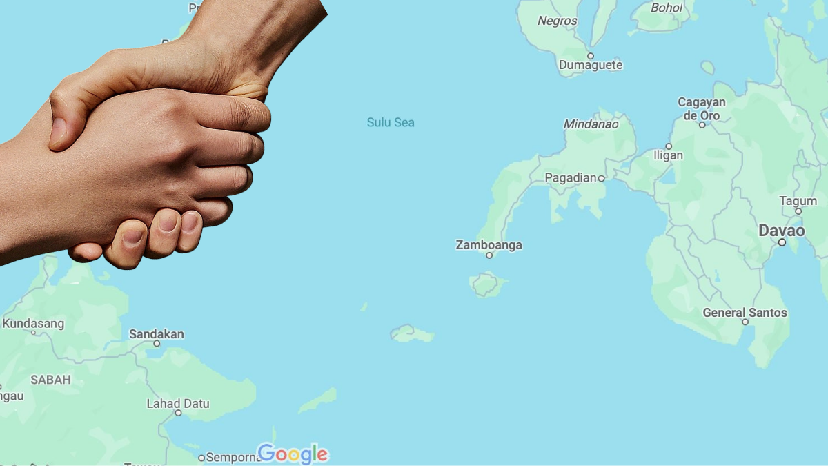
A look at Google Maps shows that 118 degree meridian of longitude east of Greenwich passes through Quezon and Calasaguen in Palawan Province and Sandakan in Sabah, Borneo, which is under the control of Malaysia, although claimed by the Philippines based on historic rights as part of the Sultanate of Sulu. Readers who may open the aforecited links can right-click the areas indicated in red pins to show the latitudes and longitudes. The process would show that Mindanao and Sulu can be found east of such meridian.
Longitude is the measurement east or west of the prime meridian. Longitude is measured by imaginary lines that run around Earth vertically (up and down) and meet at the North and South Poles. These lines are known as meridians.

In January 1981, J.R.V. Prescott, in a research on maritime issues in Southeast Asia written for the East-West Environment and Policy Institute, noted: “It was soon discovered, by the United States, that some islands within the archipelago had been excluded by this definition, and a second treaty with Spain was concluded on 7 November 1900. This document identified the islands to be included in the Philippine archipelago as Cagayan [de] Sulu and Sibutu Island and their dependencies. These islands are situated in the southwest of the archipelago.”
Cagayan de Sulu is currently known as Mapun Island, one of the municipalities in Tawi-Tawi province.
Prescott further cited that on Jan. 2, 1930, the US and United Kingdom agreed on a line “separating the islands belonging to the Philippine archipelago on the one hand and the islands belonging to the State of North Borneo, which is under British protection…”
Section 1 of the Jones Law of 1916 reaffirmed the territories ceded by Spain to the US as part of the Philippines. It said: “Be it enacted by the Senate and House of Representatives the United States of America in Congress assembled, That the provisions of this Act and the name ‘The Philippines’ as used in this Act shall apply to and include the Philippine Islands ceded to the United States Government by the treaty of peace concluded between the United States and Spain on the eleventh day of April, eighteen hundred and ninety-nine, the boundaries of which are set forth in Article III of said treaty, together with those islands embraced in the treaty between Spain and the United States concluded at Washington on the seventh day of November, nineteen hundred.”
The same law provided for the creation of five representative districts in the Department of Mindanao and Sulu, formerly called the Moro Province.
Meanwhile, the Philippine Declaration of Independence written by Ambrosio Rianzares Bautista, War Counsellor, and read in Cavite el Viejo (Kawit) on June 12, 1898, also included Mindanao as part of the Philippine territory.
The proclamation was ratified on Aug. 1, 1898 to legitimize the revolutionary government led by Emilio Aguinaldo.
The short-lived Malolos Constitution does not define the scope of what it referred to as the Philippine Republic. However, Article I of the 1935 Constitution, adopted during the Commonwealth period, states:
“The Philippines comprises all the territory ceded to the United States by the treaty of Paris concluded between the United States and Spain on the tenth day of December, eighteen hundred and ninety-eight, the limits of which are set forth in Article III of said treaty, together with all the islands embraced in the treaty concluded at Washington, between the United States and Spain on the seventh day of November, nineteen hundred, and in the treaty concluded between the United States and Great Britain on the second day of January, nineteen hundred and thirty, and all territory over which the present Government of the Philippine Islands exercises jurisdiction.”
As with all our other reports, MindaNews welcomes leads or suggestions from the public to potential fact-check stories.
MindaNews is a verified signatory to the Code of Principles of the International Fact-Checking Network.(H. Marcos C. Mordeno / MindaNews)


